For safety I also bring my tradtional map and compass.
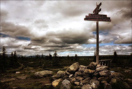
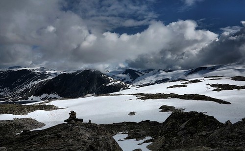
Whatever navigation tools we have you will also find the stone cairns with or without path signs many places along your way. Not least we have in our mountains houndreds of paths marked with a red T - corresponding with a net of paths made by the Norwegian Tourist Association (Turistforeningen).
In today's photos you will find some examples of the tradtional stone cairns markings in the mountains of Central Norway.
No comments:
Post a Comment